
Exploring New Connections along the Blackstone River Greenway
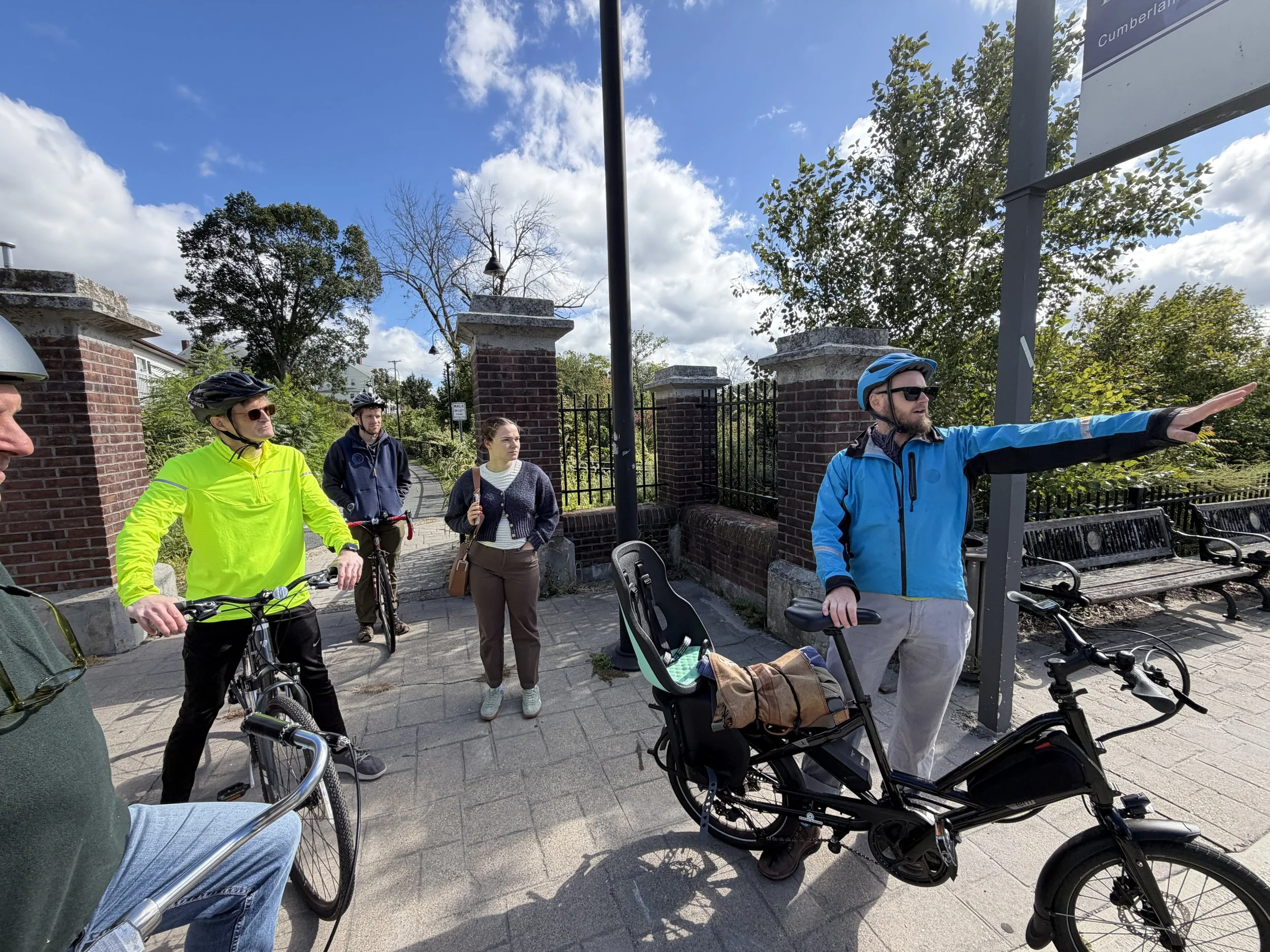
Alex Beam, Principal Planner from the City of Providence, talks shop with Amelia Morton, Planning Director from Cumberland, Jim Vandermillen, Planning Director for Central Falls, Ryan Verhoog from the Blackstone Heritage Corridor, and John Flaherty From Green Streets Associates.
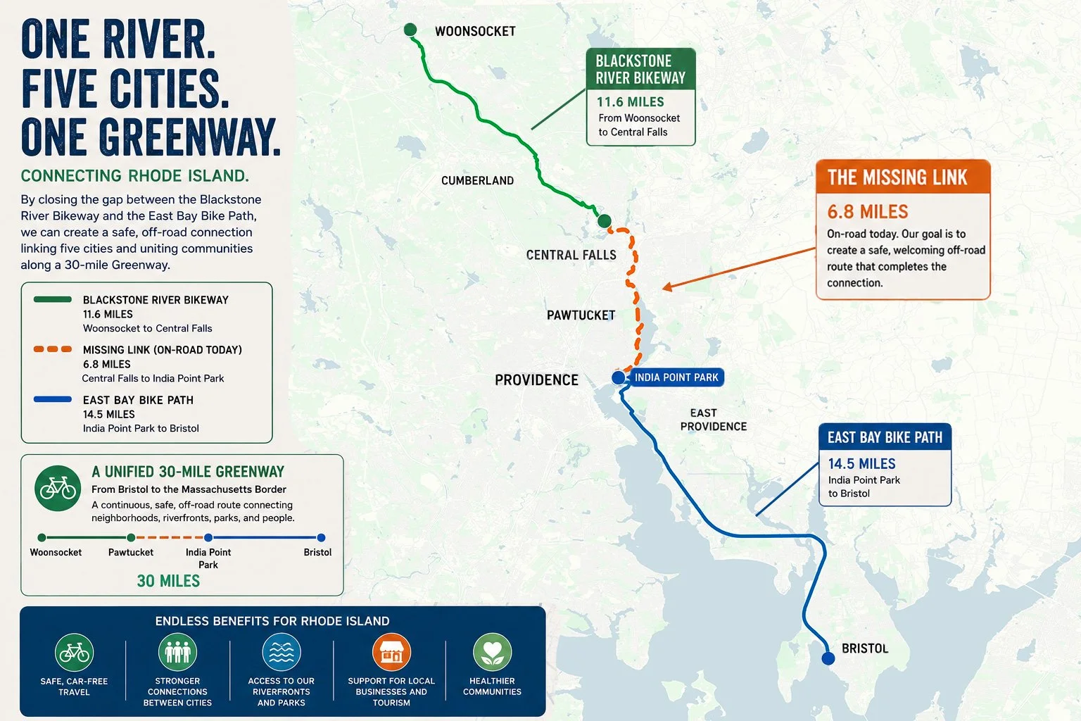
A significant gap remains between the existing off-road sections of the Blackstone River Bikeway from Woonsocket to Cumberland and the East Bay Bike Path from Providence to Bristol. Closing that gap 7-mile gap will require coordination among several municipalities, as well as careful planning around roadways, wetlands, river crossings, private property, and existing development.
To advance this work, planners and regional partners from communities along the river have formed a cross-municipal Greenway working group. The group has met several times to review the corridor, share local knowledge, identify potential funding sources, and begin approaching the missing segments as one regional project rather than a series of separate municipal efforts.
Most recently, members of the working group took to bicycles for a field survey of potential Greenway connections through Cumberland and Central Falls. The ride provided an opportunity to experience the corridor firsthand, examine several challenging locations, and discuss possible solutions together.
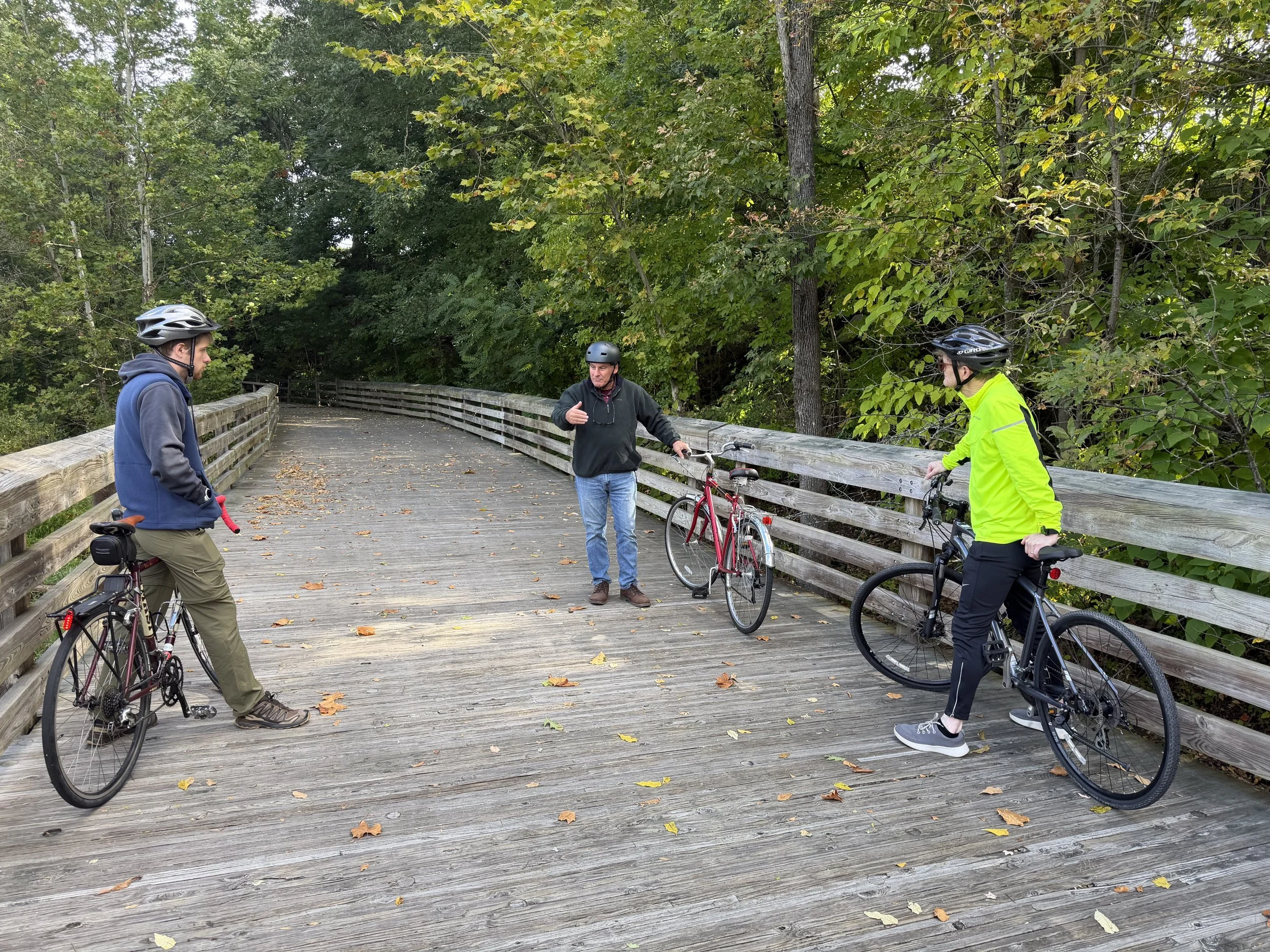
Discussing boardwalk options on the Blackstone River Bikeway in Cumberland.
The group began near the current end of the Blackstone River Bikeway, where existing boardwalks offered an example of how a future trail might cross wetland areas. Participants then explored the area behind the Blackstone Valley Glass Center, which offers striking views across the river and wetlands and could become an inviting destination along the completed Greenway.
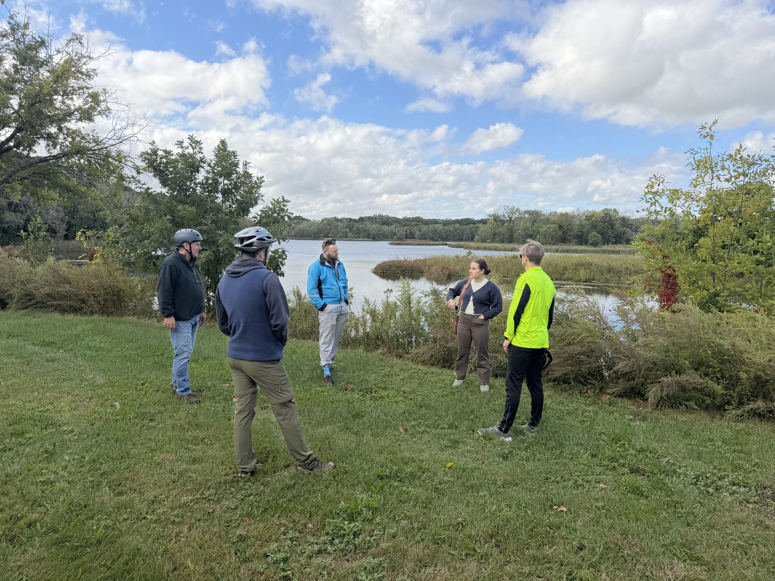
Admiring the views and dreaming of trails behind the Blackstone Valley Glass House.
At Valley Falls Heritage Park, the group considered how the existing bicycle spur and riverfront setting could be better connected to the larger trail system. The ride continued along Broad Street, where participants discussed possible configurations for safer bicycle travel and connections to downtown Central Falls.
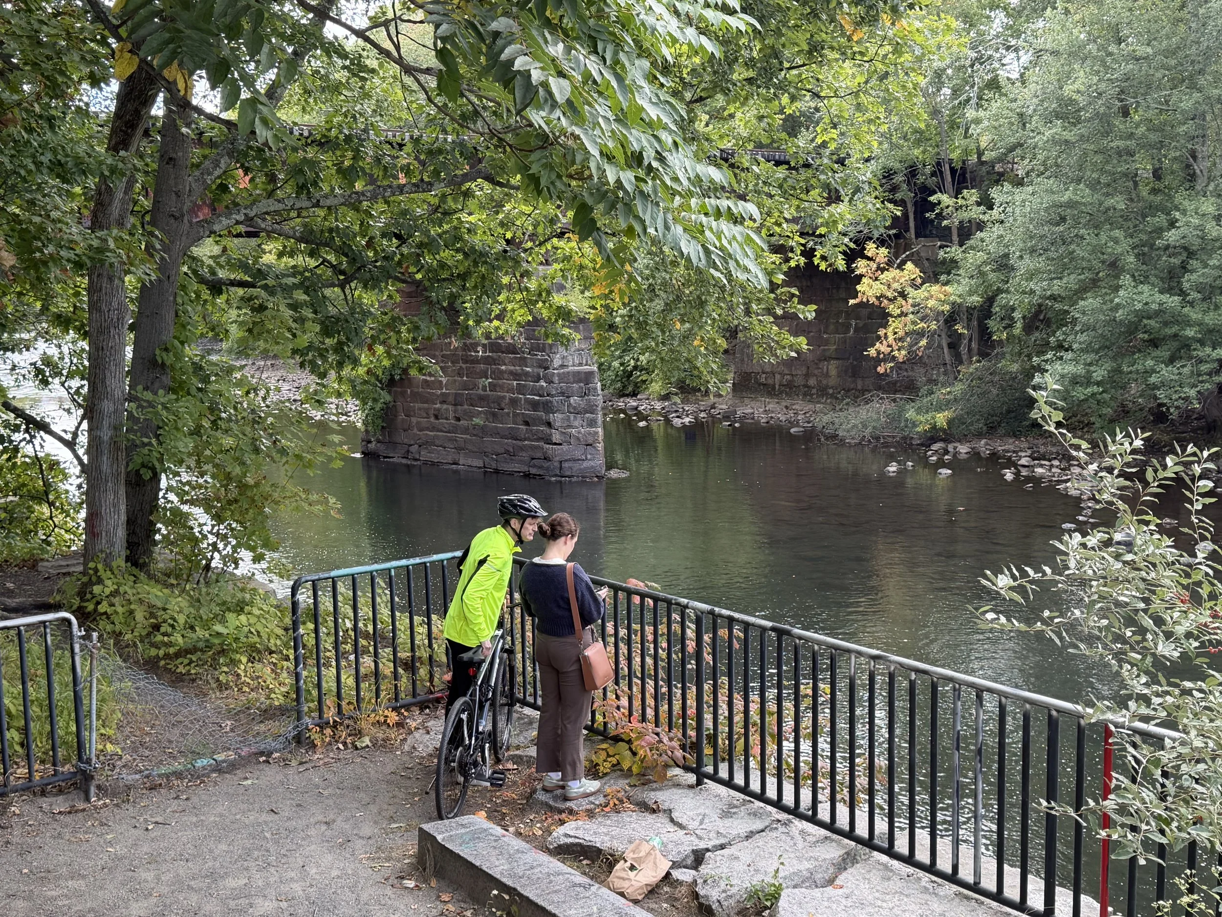
Discussing activation strategies at Valley Falls Heritage Park in Cumberland, which could become a valuable spur to the Greenway.
River Island Park and the existing off-road trail between Cortland and Blackstone streets demonstrated the value of separating riders and pedestrians from vehicle traffic wherever possible. Even relatively short off-road segments can make a route considerably more comfortable and accessible for families and less-experienced riders.
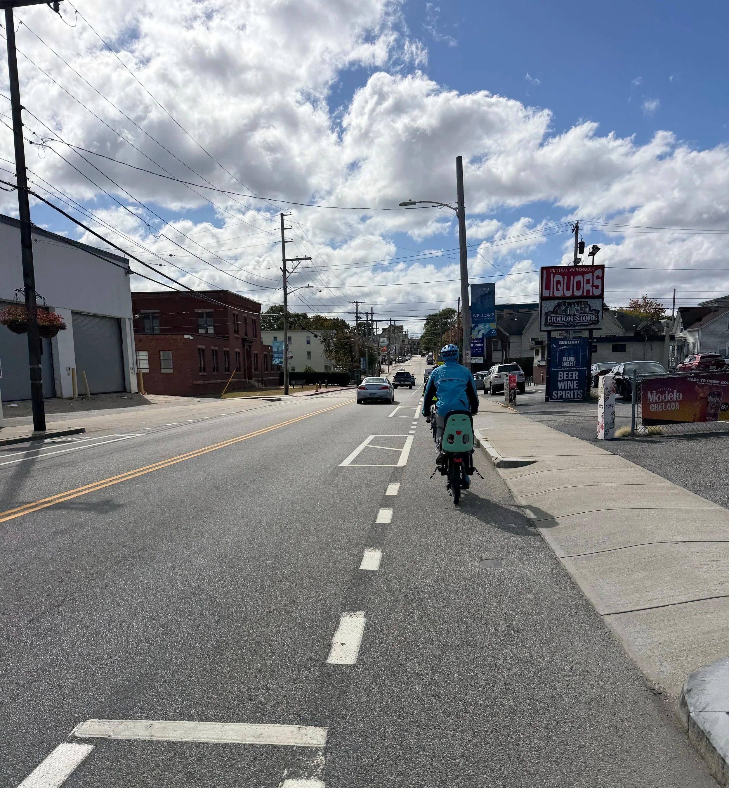
Broad Street offer opportunities and challenges.
The group also examined the High Street railroad underpass, long recognized as one of the corridor’s more difficult connections. Several possible approaches were discussed, including traffic controls, physical separation for cyclists, and alternative multi-use-path alignments. Further investigation and engineering analysis will be needed before a preferred solution can be identified.
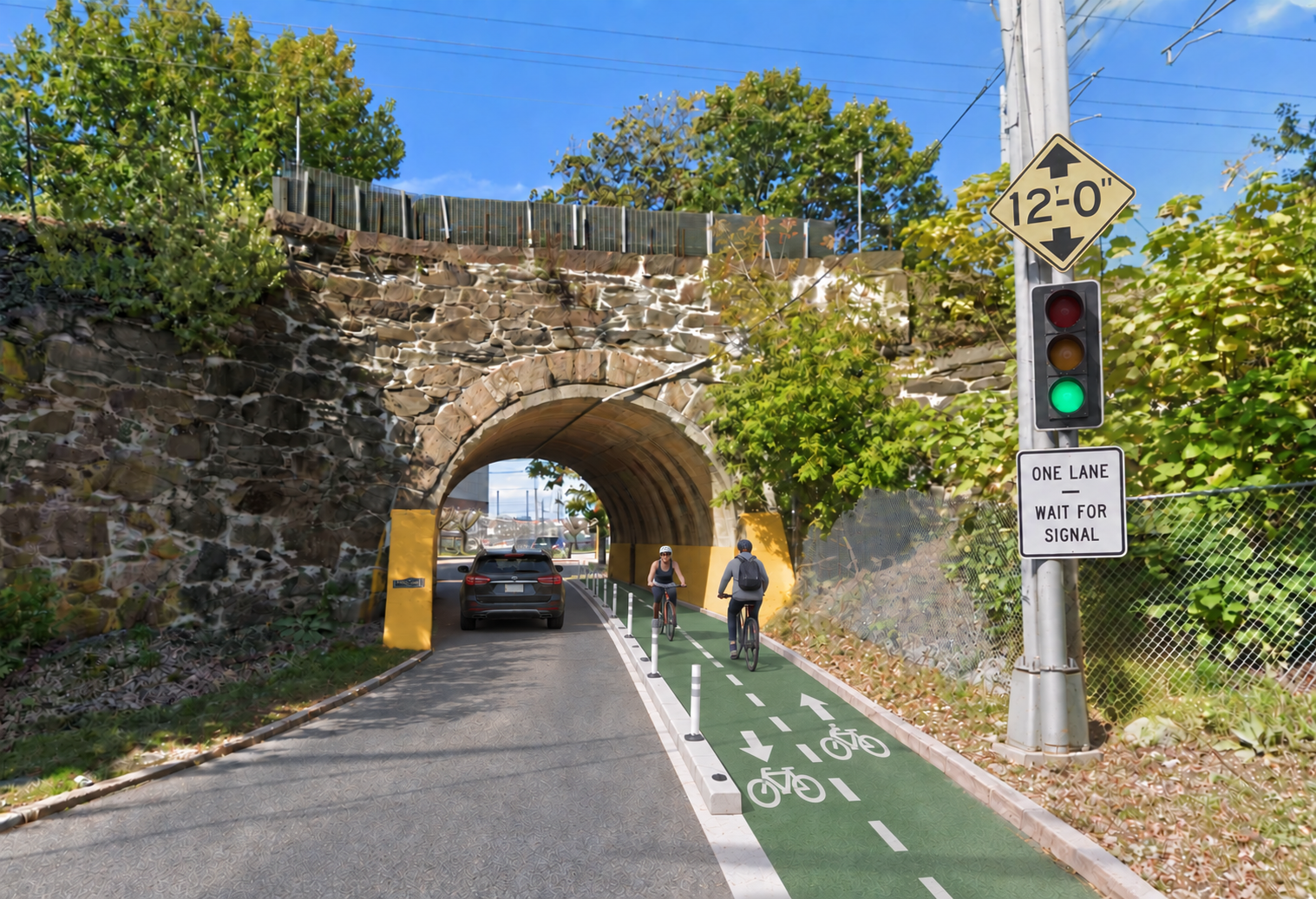
One possible solution to the High Street underpass pinch point.
Additional survey rides are being planned for Pawtucket and Providence. These “rolling meetings” are proving invaluable: they bring planners and partners together on the ground, encourage practical problem-solving, and help everyone see the Greenway as one connected regional corridor.
This work will also help inform the proposed fall meeting of the Tidewater Riverway Cities Partnership, bringing together the mayors of East Providence, Providence, Pawtucket, Central Falls, and Cumberland around shared riverfront priorities.